

This is How Satellites Help Your Phone Find Your Location
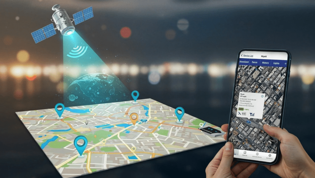
Have you ever opened Google Maps, entered a destination and watched your phone identify your location within seconds? It may feel like magic, but the technology behind it is the result of decades of scientific and engineering development.
The system is called the Global Positioning System, commonly known as GPS. It uses satellites orbiting Earth to help devices determine where they are.
What Exactly Is GPS?
GPS stands for Global Positioning System. It is a satellite-based navigation system that provides positioning, navigation and timing information.
The system was developed for the United States and is now widely used by civilians, businesses, scientists and governments around the world.
GPS is made up of three main parts: satellites in space, ground-based control stations and receivers used by people and machines.
The satellites send signals containing information about their position and the precise time the signals were transmitted. Your phone or navigation device receives those signals and uses them to calculate its location.
How Do Satellites Find Your Position?
The basic principle behind GPS is measuring distance.
A GPS satellite sends a radio signal containing a timestamp. Your phone records when that signal arrives. Since radio signals travel at approximately the speed of light, the receiver can estimate how far away the satellite is by measuring the time the signal took to arrive.
One satellite provides a distance measurement, but that alone is not enough to identify an exact location.
Your device needs signals from several satellites. By comparing the distances, it can calculate where the different measurements meet.
This mathematical process is known as trilateration.
A typical GPS position calculation uses at least four satellites to determine a three-dimensional location and correct for the receiver’s clock error.
Why Does GPS Need Such Accurate Time?
Timing is one of the most important parts of the entire system.
A radio signal travels extremely fast. Even a tiny error in measuring the time can create a significant error in the calculated distance.
That is why GPS satellites carry highly accurate atomic clocks. Their timing information allows receivers to calculate signal travel times with the precision required for positioning.
The ground control system also monitors the satellites and updates their navigation information.
Why Can Your Phone Sometimes Lose GPS Signal?
GPS signals are relatively weak by the time they reach the ground. Buildings, tunnels, mountains and dense structures can obstruct or weaken them.
This can make it difficult for a phone to calculate its position accurately.
Modern phones may also use other sources of information, including nearby Wi-Fi networks, mobile networks and built-in sensors, to improve location estimates.
This is why your phone may sometimes show an approximate location even when satellite reception is poor.
GPS Is Used for More Than Navigation
GPS has become important in many areas of modern life.
Drivers use it to find routes, pilots use satellite navigation during flights, ships use it at sea, and emergency responders rely on positioning information to locate people and coordinate operations.
It is also used in agriculture, scientific research, mapping, transport and the timing systems that support parts of modern infrastructure.
A Technology We Often Take for Granted
The next time your phone tells you exactly where you are, remember that it is receiving carefully timed radio signals from satellites moving thousands of kilometres above Earth.
GPS may seem ordinary today, but it is one of the technologies that has changed how people navigate, communicate and organise everyday life.

Leave a Reply